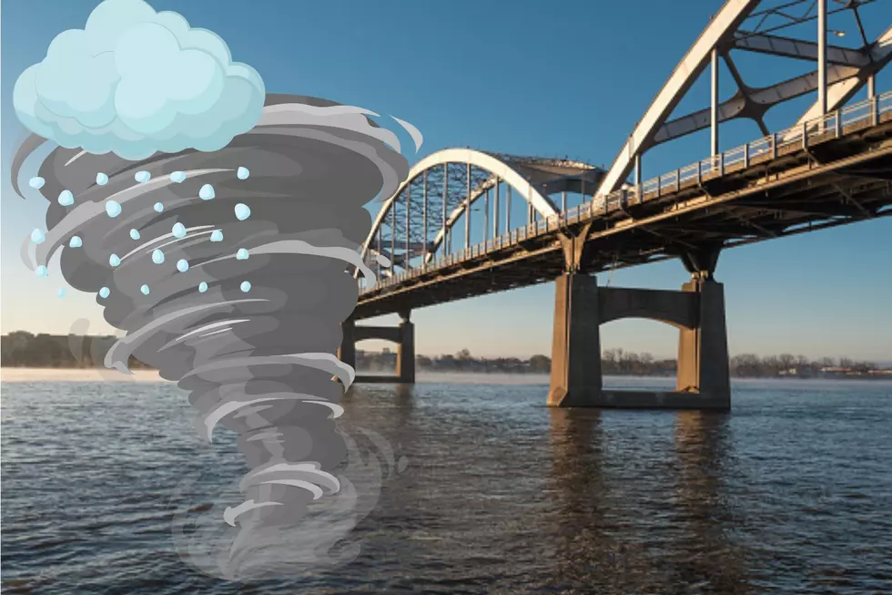
Severe Storms Threaten Midwest: Possible Tornadoes This Evening
Residents across eastern Iowa and western Illinois are urged to brace themselves as meteorologists issue a First Alert Day for today, Tuesday. The region is on high alert for the imminent arrival of strong and severe storms set to sweep through the area this afternoon and evening.
Severe Storms Threaten Midwest: First Alert Day Declared
Meteorologist Kyle Kiel, in a Facebook post, emphasized the critical need for heightened weather awareness from 2 p.m. to 10 p.m. as the potential for numerous severe thunderstorms roll in. A Level 2 to Level 3 risk has been identified, with a Level 3 risk specifically in place for tornadoes and large hail, stretching from the Quad Cities to Galesburg and points westward.
Two Or Three Rounds Of Storms Coming In Today
Experts are getting more sure that there will be a big line of storms coming around the time when many schools finish for the day. These storms could bring heavy rain, strong winds, hail, and possible tornadoes.
After the first round of storms, there looks to be another wave coming. This one could bring even more hail and tornadoes. After that, a third line of storms could move in overnight when a cold front moves through.
The weather forecast is still changing, but we're expecting at least one round of really bad weather, maybe even three. So, it's really important to keep an eye on the weather updates today.
Huge Hail Is Expected With Possible Tornadoes
Meteorologist Kyle Kiel cautioned that hailstones could reach sizes larger than golf balls, amplifying the risk of damage to property and posing a significant threat to safety. Furthermore, there exists the potential for the formation of stronger tornadoes, adding to the urgency of preparedness measures.
The anticipated severe weather encompasses a range of hazards, including heavy rainfall and damaging wind gusts, heightening the potential for widespread disruption and danger. As such, Kiel stressed the importance of proactive preparation, urging residents to have action plans in place for themselves and their families in the event of a weather warning.
What Are the Temperatures For Today?
Today's weather conditions are forecasted to feature afternoon temperatures reaching 79ºF, accompanied by strong winds from the east-southeast at speeds of 20-30 mph.
Tonight, the region can expect a continuation of storm activity, with temperatures dropping to around 58ºF and southeast winds maintaining their intensity.
What Is The Weather For Tomorrow?
Looking ahead to tomorrow, lingering showers and breezy conditions are anticipated, with temperatures reaching a high of 66ºF. However, the aftermath of today's severe weather remains a concern, with the possibility of further storm activity persisting throughout the day.
In light of these developments, residents are advised to stay informed of updates from local authorities and weather experts and to remain prepared for rapidly changing conditions.

More From B100

