
Winter Storm Watch Issued For All Of Eastern Iowa Ahead Of Storm
It's official, a Winter Weather Watch has been issued for most of Eastern Iowa and Western Illinois. All of the Quad Cities area is under the watch ahead of Wednesday's storm.
Officials with the National Weather Service say that heavy snow possible with this storm. Total snow accumulations could be between 6 and 8 inches possible and the snowstorm will dump all of that snow from Wednesday morning through late Wednesday night.
Expect wind gusts up to 25 mph with this storm and the snow will bring
hazardous impacts for your Wednesday morning and evening commutes.

By this time, hearing about a snowstorm set to dump several inches of snow across Eastern Iowa becomes the third or fourth time we've heard this tune. It's weird to tell you about our first major snowstorm in mid-February, but here we are.
That's right, snow. It's coming this week and it's coming more than once.
The first and biggest round of snow will come midweek, followed by another chance as we approach the weekend. Let's not get ahead of ourselves; let's focus on the first round, which will essentially last all day on Wednesday.
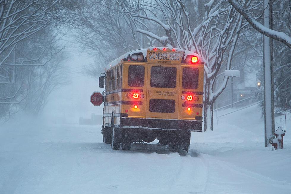
Don't be surprised if Wednesday is another early dismissal day for schools or if it is canceled altogether. This storm could bring several inches of snow to Eastern Iowa and Western Illinois.

Major Winter Storm To Bring Several Inches Of Snow To Eastern Iowa
Off to the southeastern part of Iowa, Winter Storm Watches have already been issued. I wouldn't be surprised if we saw one for our area sooner rather than later.

Our chance of getting a half-foot of snow is really good right now, and while our chances for higher amounts decrease, 6 inches of snow is a lot.
The National Weather Service of the Quad Cities has us at a 50% chance for snowfall totals of 6 inches or more. That's pretty significant.
The First Alert Weather Team at KWQC are saying the same thing but with more timing details. Snow is expected to start falling Wednesday morning but because this will be a long-duration weather event, the snow impact on roads will become more apparent as the day goes on. Expect your afternoon and Wednesday commute to be pretty bad and things could carry over into Thursday morning.
Some social media pages that put out their own forecast think we could even see up to a foot of snow by the time it's all said and done.
We'll have another shot for some snow Friday into Saturday, but models are giving meteorologists clear information yet to give predictions.
Prepare for the snowstorm on Wednesday but please, don't panic buy. It's annoying.
Essential Winter Emergency Kit Items
Gallery Credit: Connor Kenney/Townsquare Media Quad Cities
Is This Available Garner, IA Home Actually Willy Wonka's House? You Decide
Gallery Credit: realtor.com/mcitymls2022
More From B100


