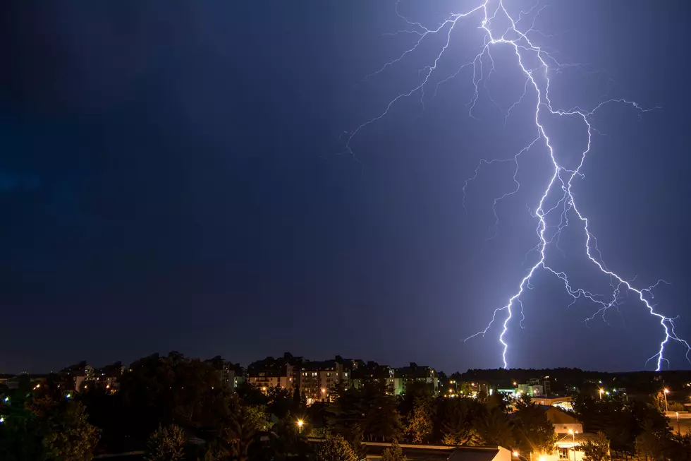
Potential For Storms In The Quad Cities Tonight


With debris still scattered throughout the Quad Cities, more could be on the ground tomorrow morning after some storms roll through the area in the overnight.
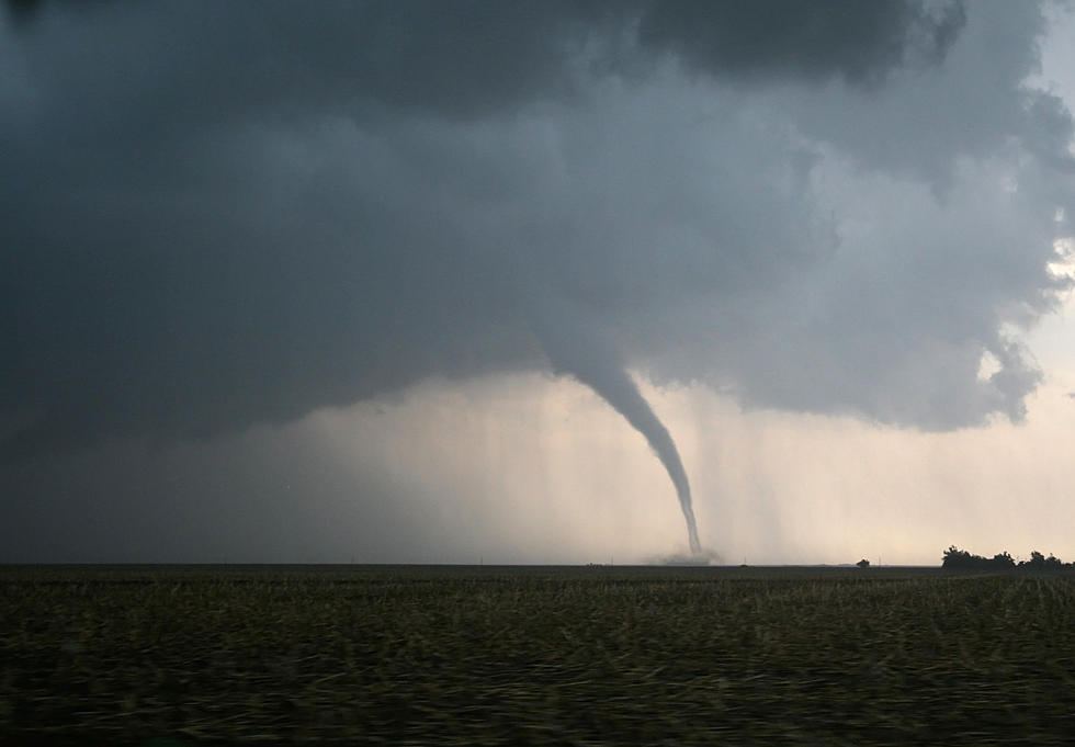
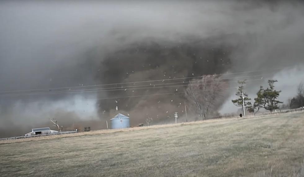
The derecho that came through the Quad Cities on Monday did a lot of damage. Thousands are still without power and the debris cleanup is still going on. What we don't know is how much more could fall tonight and tomorrow morning after some storms could pass through the area.
According to the National Weather Service, the forecast for tonight into tomorrow looks like this:
- Today
- Sunny, with a high near 88. East wind around 5 mph.
- Tonight
- A 20 percent chance of showers and thunderstorms after 4am. Increasing clouds, with a low around 66. Southeast wind around 5 mph becoming calm in the evening.
- Saturday
- A 30 percent chance of showers and thunderstorms, mainly between 7am and 10am. Mostly sunny, with a high near 82. Light and variable wind becoming north 5 to 10 mph in the morning.
- Saturday Night
- Mostly clear, with a low around 60. North wind around 5 mph.
- Sunday
- Sunny, with a high near 85.
- Sunday Night
- Mostly clear, with a low around 62.
- Monday
- Sunny, with a high near 81.
Thankfully, the wind speeds will not be even close to what we experienced on Monday. Plus, the chance of these showers and thunderstorms impacting the Quad Cities is fairly low.
Nonetheless, keep an eye on the weather tonight. Even a small storm rolling through the Quad Cities could knock down large limbs that have yet to fall.
TIPS: Here's how you can prepare for power outages
More From B100