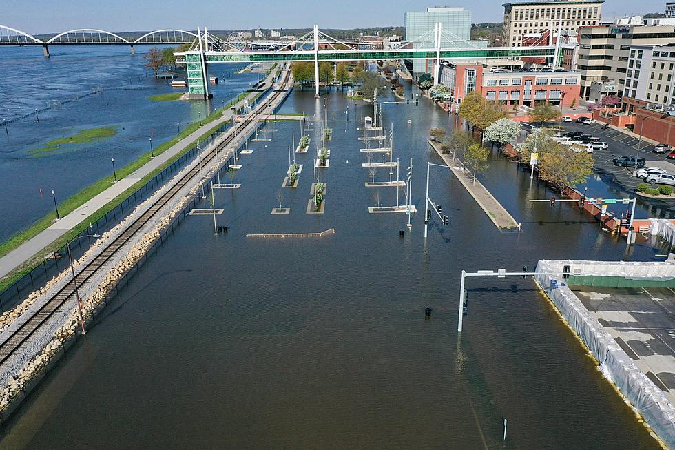
Davenport Closes Part Of River Drive As Mississippi River Rises
Hopefully things don't get interesting in downtown Davenport.
We're starting to keep a closer eye on the Mississippi River at multiple measuring locations, including at Rock Island.
We all remember floods like May 2023 (where the floatie duck pic above is from). There's no forecast yet that this could get that bad but there are road closures to let you know about.
Where It's At Now
Here's the latest (as of April 16th) forecast from NOAA on the river at Rock Island:

They're expecting the river to get to 14.90 on April 22nd (Minor flood stage is considered 15 ft, so it's close).
The City of Davenport is doing a few things:
- Setting pumps and closing gates in various low-lying areas of the city according to river stage.
- Closing S. Concord between River Dr and Utah beginning today due to water over the road
If you need to get to the Davenport Compost Facility, take Rockingham Rd/Hwy 22, Wapello to Railroad St.
There's no word on how long that closure will last or if there will be more as the river rises. The city says the high river level is due to all the rain the Midwest has gotten lately.
In the meantime, Davenport says they're paying close attention to river conditions and will update everyone with whatever they need to do.
The National Weather Service says Minor flood stage means "minimal or no property damage, but possibly some public threat or inconvenience". (The May 2023 flood was 22 ft crest which was considered Major, duh)
The Top 10 School Districts In Iowa
Gallery Credit: Google Maps
Top 5 Chain Restaurants The QCA Wants Most
Gallery Credit: Getty Images
More From B100