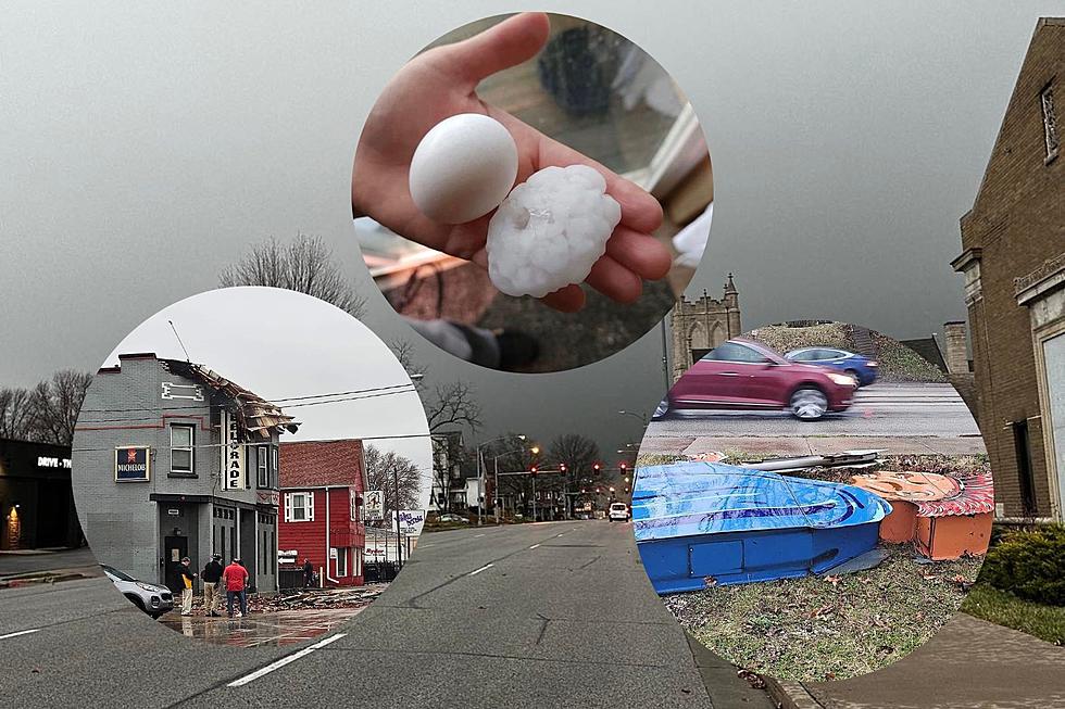
High Wind Warning Issued For All Of Eastern Iowa Counties
I don't think I've heard of a High Wind Warning but with one being issued to all counties across Eastern Iowa, one song pops into my head and that's Rock You Like A Hurricane by the Scorpions.
While this isn't totally a laughing matter, it never hurts to put a little humor into a warning about wind blowing our stuff all over the place.
In all seriousness, dangerous winds are heading for Iowa which will cause blizzard conditions in central Iowa and wreak havoc across the entire state Tuesday night into Wednesday. Plus, snow will be blowing everywhere which will make driving a pain in the butt.
High Wind Warning Issued For Eastern Iowa
The National Weather Service of the Quad Cities has issued a High Wind Warning for all of eastern Iowa and the Quad Cities area. That includes Scott, Clinton, Muscatine, Rock Island, Mercer, Linn, Cedar, Johnson, Dubuque, Washington, Jackson, Jones, Des Moines, Lee, Henry (IA), Louisa, Buchanan, Delaware, and several other counties across the state.
For most of central Iowa, a Blizzard Warning has been issued ahead of nasty weather Tuesday night and Wednesday.
The High Wind Warning for the Quad Cities will be in effect from 6 a.m. to 9 p.m. on Wednesday, March 5th. Expect northwest winds of 35 to 45 mph, with gusts up to 60 mph. These damaging winds may blow down trees and power lines causing widespread power outages.
Travel will be difficult, especially for high-profile vehicles. Visibility will be reduced to under 1 mile due to falling and blowing snow Wednesday morning which could create near-whiteout conditions at times.
Expect to see blowing snow on Wednesday with not much accumulation. We will see another chance for snow by the end of the week but this is the forecast for tonight (Tuesday night) through Thursday, according to the National Weather Service of the Quad Cities:
- Tonight
- Rain, mainly before 2 am.
- Low around 41.
- East wind 5 to 15 mph becoming west after midnight. Winds could gust as high as 25 mph.
- Chance of precipitation is 90%.
- Wednesday
- Rain before 11am, then snow, possibly mixed with rain between 11am and 2pm, then snow likely after 2pm.
- Temperature falling to around 31 by 5pm.
- Windy, with a west wind 10 to 20 mph becoming northwest 25 to 35 mph. Winds could gust as high as 45 mph.
- Chance of precipitation is 100%. New snow accumulation of less than a half inch possible.
- Wednesday Night
- Mostly cloudy, then gradually becoming mostly clear, with a low around 24.
- Blustery, with a northwest wind 15 to 20 mph decreasing to 10 to 15 mph after midnight.
- Winds could gust as high as 40 mph.
- Thursday
- Sunny, with a high near 43.
Essential Winter Emergency Kit Items
Gallery Credit: Connor Kenney/Townsquare Media Quad Cities
Top 12 Things People Never Thought They'd Do as Adults
More From B100