Quad Cities Expected To See Up To 6 Inches Of Snow Tuesday Through Thursday
Snowfall totals have changed. To see the snowfall predictions, CLICK HERE.
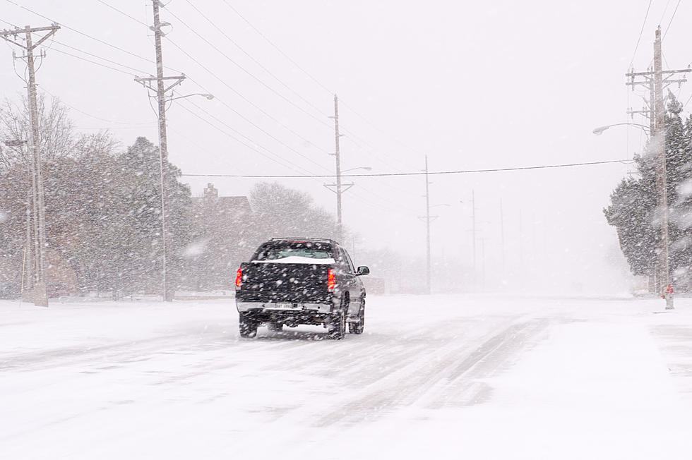
Another snowstorm is heading in the direction of the Quad Cities area. Now that the storm is closer, weather experts have released their snowfall predictions. The Quad Cities could see up to 6 inches of snow over the course of 2 days, but if you're in the southern part of the listening area, you could see even more.

Over the weekend, the National Weather Service of the Quad Cities and the National Weather Service of Des Moines (NWS) were teasing us that another snowstorm was on the way. They weren't sure how much snow we could possibly get because they weren't sure of the track of the storm.
They did and still do know is that this storm is going to last a long time. NWS officials know that the snow will get here late Tuesday night and dump snow across Iowa, Illinois, Missouri, and Indiana through the day on Thursday. Yes, two full days of snow are coming our way.
On Monday, officials from the National Weather Service of the Quad Cities released their predictions for the amount of snow we could get from Tuesday night through Thursday.
NWS officials are saying that this long-duration snowfall event will bring a very sharp gradient of accumulating snow across the area. This is due to dry air being brought in by north winds, according to officials. Snowfall totals could vary by several inches over one county alone because of how sharp the gradient of the storm is.
The long-duration snowfall event should begin Tuesday night and last through Thursday. Winter Storm Watches and some Warnings have been issued in the southern and southeastern parts of the listening area. The predicted snowfall amounts shown above in the graphic above are the snowfall over a 24 to 36 hour period.
NWS officials say that the main impacts are associated with total snowfall, not snowfall rates. There is still uncertainty with totals on the north end of this snowstorm.
Time Stopped in the 70s at This Rock Island Home
Gallery Credit: Tami Seitz
Essential Winter Emergency Kit Items
Gallery Credit: Connor Kenney/Townsquare Media Quad Cities
More From B100


