What Exactly Is Wind Chill and How Is It Calculated? – South Dakota Winter Safety
It's a fact of life in the part of the world we live in.
Bitterly cold weather.
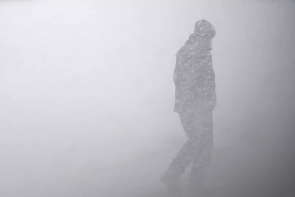
Things are bad enough when you wake up to actual temperature readings of -15 to -20, but things really get dangerous when the wind kicks up and the wind chills kick in.

South Dakota Winter Safety: Frostbite: What Is It and What To Do

So what are wind chills?
According to Wikipedia:
It is determined by iterating a model of skin temperature under various wind speeds and temperatures using standard engineering correlations of wind speed and heat transfer rate. Heat transfer was calculated for a bare face in wind, facing the wind, while walking into it at 1.4 meters per second (5.0 km/h; 3.1 mph).
The model corrects the officially measured wind speed to the wind speed at face height, assuming the person is in an open field.
READ MORE: Minnesota's Miracle Woman, Frozen Solid And Survived
And now the most important question: how are they calculated?
Time to brush up on your math...
According to this National Weather Service:

That certainly clears it up, doesn't it?
If you're looking for an easier way, just try the handy Wind Chill Calculator on the NWS website. All you do is put in the temp and wind speed and the calculator does all of the figuring.
LOOK: The most extreme temperatures in the history of every state
Gallery Credit: Anuradha Varanasi
A Survival Guide For Winter in South Dakota
Gallery Credit: RESULTS-TOWNSQUARE MEDIA SIOUX FALLS
The Coldest Temperatures EVER in Sioux Falls
Gallery Credit: Danny V
More From B100